
|

|

|

|
| Projects | Project Groups | Extra Width On Curves | Crust Details |

|

|

|

|
| Segment Details For Cross Section | Field Book | Data for Horizontal Alignment | Data For Vertical Alignment-Traditional |

|

|

|

|
| Data For Vertical Alignment-Autocad | Cross Section -Ttraditional | Cross Section - Autocad | Quantity Statement |
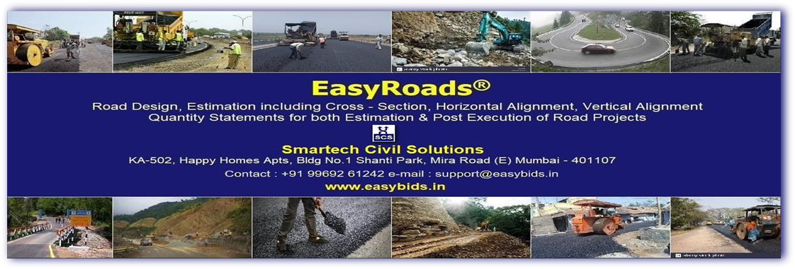
EasyRoads® is simple to use, yet it is powerful. It takes the survey data [Field Book] as input and automatically generates drawings such as Horizontal Alignment Plan, Longitudinal-section & Cross-Section with total precision as the program generates all the drawings in AutoCad. It also performs volumetric calculations of all materials for various road structures and tabulates it neatly for both estimation and post execution. EasyRoads can be used for both Hilly and plain regions.
Widely used in preparation of DPRs of PMGSY, MMGSY & Other Road Projects. It is also useful for Irrigation Projects involving Canals and Earthwork
Accepts survey data from all sources such as Chain & Cpmpass, Plain Tables, Theodolite, Total Station & GPS equipments.
Please refer to the following snapshots for modules & outputs:
Other Drawings

Smartech Civil Solutions
KA-502. Happy Home Apartments No.1, Shanti Park, Mira Road (E) Mumbai 400107
Contact: +91 9969261242 mail: pvrao@easybids.in
KA-502. Happy Home Apartments No.1, Shanti Park, Mira Road (E) Mumbai 400107
Contact: +91 9969261242 mail: pvrao@easybids.in